
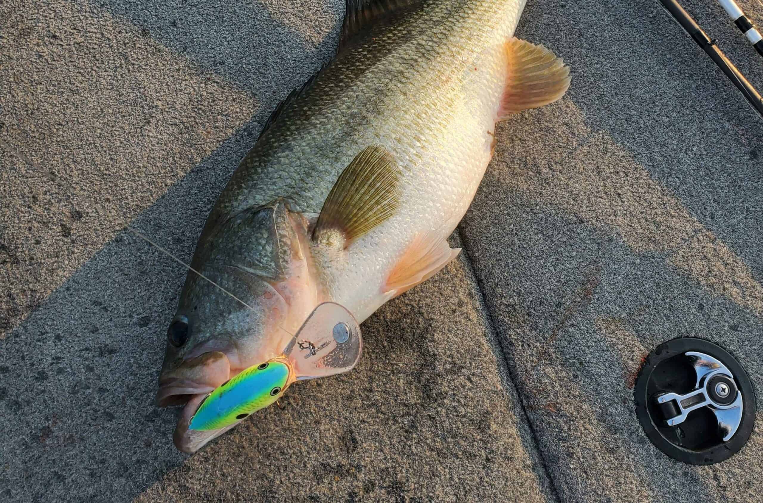
How to Find Bass in the Summer
Summer is my favorite time to catch bass. It’s the most predictable season of the year. Bass are just eating, they’re in big groups, and their mood is pretty consistent. If you can find them, you can usually catch them. Here we’re breaking the process of finding them.
Good bass habitat in the summer features three things:
- Food
- Comfort
- Shelter
Areas of significant depth change provide them with two of these. The lake is much cooler 15 feet down than it is on the surface, and the heat is the primary reason the fish head for deeper water. Bass really prefer somewhere in the 65-75 degree range, and getting into the deep water gets them closer to that.

Shelter
Bass prefer to feed in shallower water, but inactive fish seek the shelter that deeper water provides. Thus, areas that have both in close proximity are draws for the fish. It’s important to remember that deep is relative. In some lakes, fish will feed on points in 20 feet of water and drop into nearby 50 feet when they become less active. In some lakes they’ll feed in 4 feet and drop into 12. It just depends on what’s available to them.
Shelter can also come in the form of cover. Many offshore areas have rock piles and brush piles on them, and fish will gravitate to those in some cases instead of getting to deep water.
Food
Once you find a spot that features that depth change, the presence of bait is the last component of a good summer area. If there is nothing to eat, the fish won’t be there. This one is pretty intuitive.
How do you find these areas?
Map study
Any offshore fishing trip starts with map study. Great summer areas can come in the form of points, humps, channel ledges, road beds, and more. Areas where contour lines condense really close together signify a significant depth change. That’s the key indicator.
If you don’t have a good mapping card, you should get one:

- Contains detailed charts for the selected region
- Ability to update charts via PC
- Add sonar data and community edits
- One-year subscription
- Includes SD card reader

Scanning
A lot of these areas will have sweet spots, places where fish are more prone to gather. Oftentimes, this is a rock pile, a brush pile, a small area where the rock just happens to be thicker than elsewhere, or anything that provides bass with a little bit of cover or hard bottom. When I’m scanning an offshore spot, I look for three things.
- Bass
- Bait
- Sweet spots
What do these things look like?
Here’s a school of bass under a small ball of biat

Here’s an enormous wad of bait

Here’s a small brush pile on a point

The presence of any of these things warrants at least a few casts. It’s important to remember that seeing bass is great, but bass can sit down in rocks, brush, etc., and just because you don’t explicitly see bass doesn’t mean there aren’t any there.
The biggest mistake you can make in offshore fishing is just blindly casting at stuff. Your electronics are your friend. Use them to understand how an area lays out. Maps will be slightly off, points and humps will have different sweet spots and bottom compositions, fish and bait will congregate on parts of offshore structure. Once you’ve done your map study and found areas that could hold fish, put in the time with your electronics to figure out where on those areas are holding fish or most likely to hold fish. That way you can make higher percentage casts and become way more efficient at finding and catching offshore bass.


